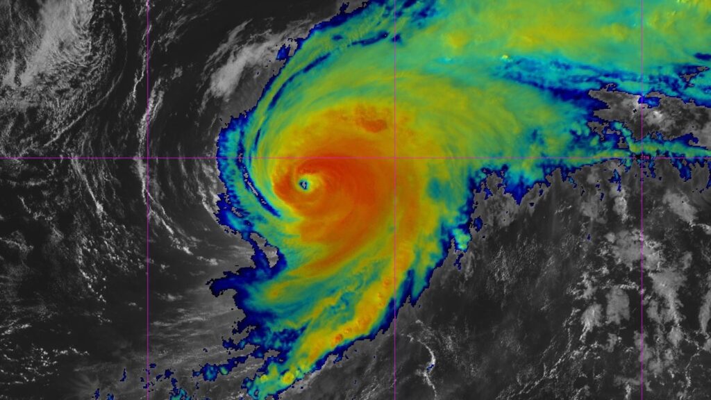
Summary:
Hurricane Gabriel has intensified to Category 4 strength and is moving east-northeast, potentially reaching the Azores as a hurricane on Thursday. The National Weather Service has issued hurricane warnings for the Azores, highlighting the rarity of such a threat. As of Tuesday afternoon, Gabriel is about 520 miles from Bermuda, with sustained winds of 130 mph. The hurricane could become a post-tropical cyclone by the time it reaches Portugal but may still retain tropical storm strength.
Simultaneously, two systems—Invest 93L and Invest 94L—are developing in the Atlantic. Invest 93L is approaching Bermuda, with a 60% chance of becoming a tropical depression soon, while Invest 94L is producing heavy rain in the Northeast Caribbean. The track of both systems remains uncertain, with potential impacts for the U.S. East Coast.
In Asia, Typhoon Ragasa, which weakened from a Category 5 super typhoon, is heading towards southern China and has prompted evacuations due to heavy rain and flooding. Ragasa’s winds are currently at 130 mph, and landfall is expected soon.
Overall, the Atlantic and Pacific regions are experiencing significant tropical activity, with multiple systems showing potential for development and impact.


