



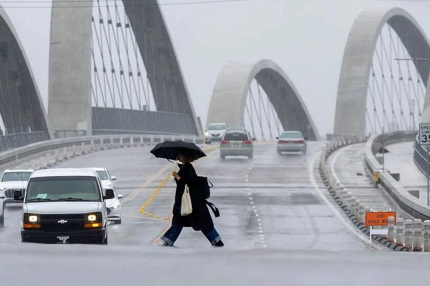
Federal scientists predict a strong El Niño is imminent, with a 97% chance of being “strong” or “very strong” until December, potentially making it one of the strongest on record. This shift could significantly affect California, especially southern regions, increasing the likelihood of above-average rainfall, flash floods, and landslides. The National Oceanic and Atmospheric Administration (NOAA) attributes this to warmer ocean waters in the Pacific, which are already at some of their highest historical temperatures.
Past strong El Niños brought considerable rainfall to downtown Los Angeles, but outcomes can vary; during the previous event in 2015-2016, LA experienced below-average rainfall despite the strength of the El Niño. The ongoing marine heatwave along the California coast is exacerbating these conditions, expected to continue alongside El Niño’s influence, which typically modifies atmospheric patterns, redirecting storms toward Southern California.
Globally, El Niño can bring wetter winters to southern regions of the U.S., parts of South America, and Central Asia, while typically causing drier conditions in the Pacific Northwest and portions of the tropics. This year’s El Niño might also influence weather events abroad, such as the super typhoon Babi impacting Taiwan with significant rainfall and strong waves.
Source link
