



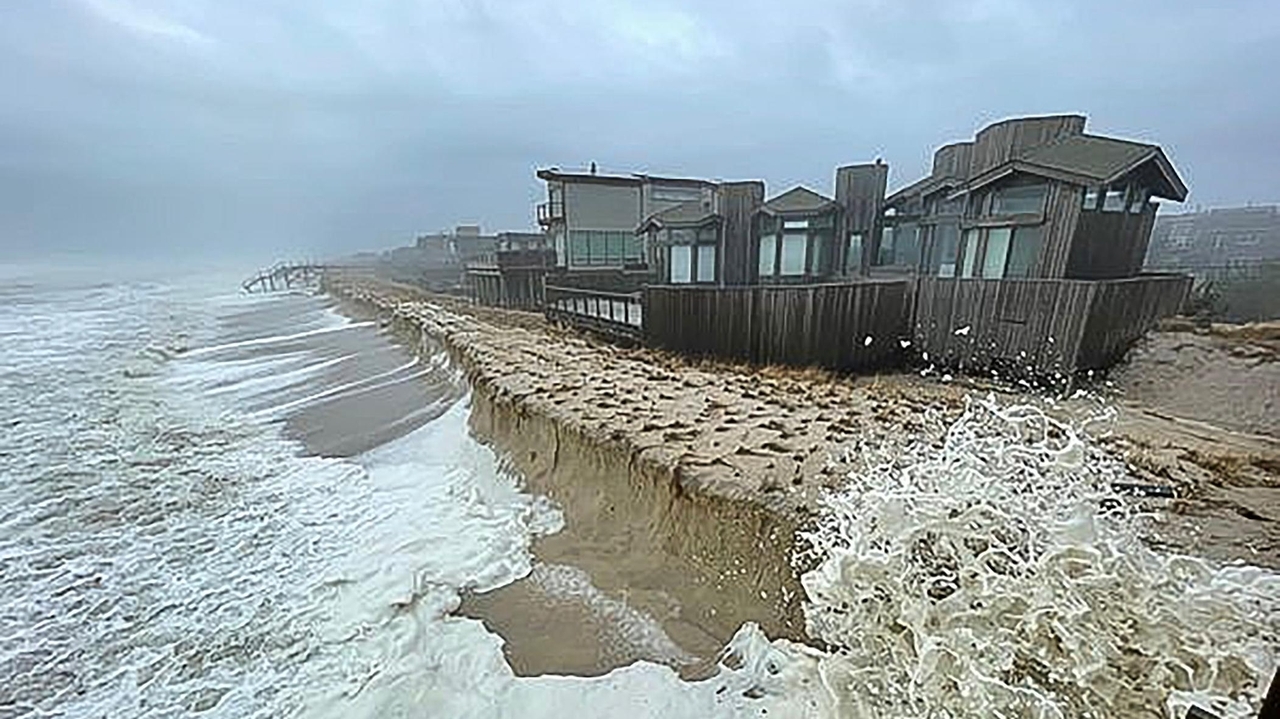
Meteorologists predict that an El Niño weather pattern will likely emerge by summer and has a two-thirds chance of intensifying by winter. This phenomenon can lead to diverse global impacts, including droughts and floods. While El Niño typically results in fewer and weaker hurricanes in the northeastern U.S., climate change may disrupt these historical trends.
El Niño is part of the natural climate cycle known as the El Niño Southern Oscillation (ENSO), which alternates between warm (El Niño) and cool (La Niña) periods. The current neutral phase was preceded by a La Niña, which ended last year, and conditions are now favorable for an El Niño due to weakened Pacific trade winds.
The previous El Niño (2023-2024) was among the strongest on record, contributing to extreme weather globally. On Long Island, residents may experience warmer winters and less snowfall during an El Niño year, with a milder Atlantic hurricane season historically expected. However, climate change may lead to more powerful hurricanes due to warmer ocean temperatures, complicating the relationship between El Niño and hurricane activity.
Current evidence suggests climate change may increase fluctuations between El Niño and La Niña phases, but it’s challenging to attribute specific weather events to these cycles versus climate change. Experts warn of the potential for extreme weather, which will strain FEMA’s disaster response efforts. 2026 is projected to be one of the hottest years on record, signaling a potentially unusual El Niño event this year.
Source link
