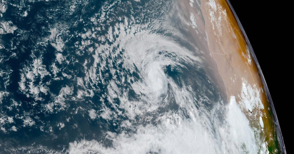
Tropical Storm Erin formed in the East Atlantic near the Cabo Verde Islands and is expected to strengthen into a hurricane later this week. Currently located about 2,155 miles east of the North Leeward Islands, Erin has maximum sustained winds of 45 mph but poses no immediate threat to the U.S. The storm’s path is uncertain, with most models suggesting a northwest to northern trajectory.
In Cabo Verde, authorities declared a state of emergency due to flooding from the storm. Erin marks the fifth named storm of the Atlantic hurricane season, which runs from June to November, with predictions of 13 to 18 named storms for the year. Tropical storms have sustained winds of at least 39 mph, while hurricanes start at 74 mph.
There was also mention of Tropical Storm Dexter in the Western Atlantic, which poses no threat to land, and past activity this season, including Tropical Storm Chantal, which affected the Carolinas. The Atlantic hurricane season typically peaks in August, September, and October.
Source link


