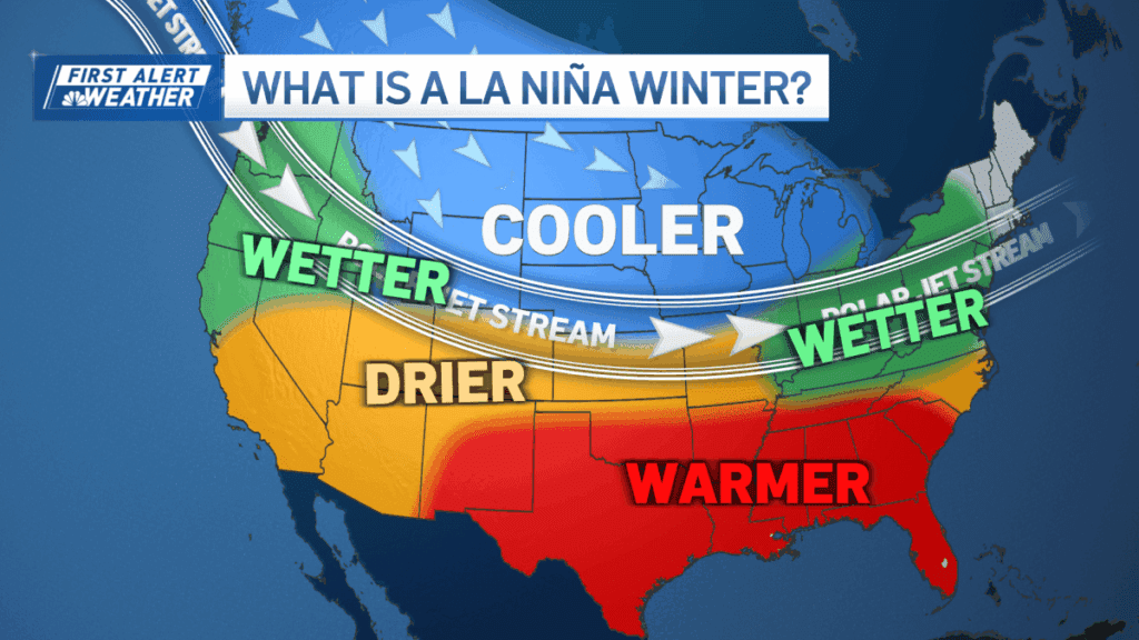
La Niña conditions in the Northern Hemisphere are expected to persist through winter, according to the National Oceanic and Atmospheric Administration. This phenomenon, characterized by low sea surface temperatures in the equatorial Pacific, typically leads to an amplified jet stream, resulting in increased storm activity across the northern U.S.
For New England, a weak La Niña generally correlates with more snowfall, particularly in northern areas and interior New England. Historical data shows that during past weak La Niña events, the region often experienced above-average snowfall. However, storm patterns may also be milder, with a mix of rain and snow due to warmer conditions from the mid-Atlantic.
Currently, the strength of this La Niña is forecasted to be weak, with a 56% chance of such an event, which could lead to varying weather patterns influenced by other atmospheric factors. Historically, temperatures during La Niña winters in the Northeast have ranged from below normal to slightly above normal; most weak La Niña years resulted in cooler conditions.
Overall, while an increase in snowfall is likely, the weather patterns may be complex due to the weaker nature of this La Niña event.
Source link


