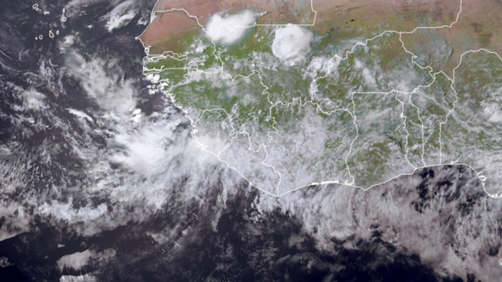
The Atlantic hurricane season has been relatively quiet but may soon ramp up, with models indicating the possibility of a strong hurricane approaching North America in the next one to two weeks. While precise predictions regarding location and timing are uncertain, atmospheric conditions suggest potential developments.
Currently, there’s a slight chance of tropical systems forming off the southeastern U.S. this weekend, but they are not expected to develop significantly due to strong wind shear. A system in the Central Atlantic, referred to as 96L, shows some potential, but it faces challenges like dry air reducing humidity levels.
Looking ahead, several factors, such as the Madden-Julian Oscillation (MJO) and warm sea surface temperatures, could enhance storm development next week as tropical waves move in. Models indicate that by mid-August, one or more systems may approach the U.S. East Coast, but specifics remain unclear.
Overall, the current Atlantic season has seen minimal activity, with only a few named storms, and the overall cyclone energy is below average. While the number of named storms is above the historical average, the intensity and impact of these storms have been low, raising concerns about the potential for future developments.
Source link


