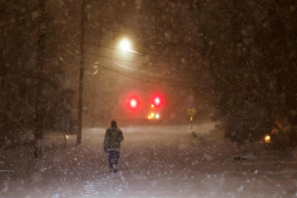
A warm Arctic ocean and a cold continent are leading to a polar vortex that will bring severe winter weather across much of the United States this week, including extremely low temperatures, heavy snowfall, and ice that could disrupt power lines. Meteorologists warn that around two-thirds of the eastern U.S. is at risk, with a potential impact comparable to a major hurricane. This harsh weather is expected to persist through late January and early February.
The polar vortex, typically contained in northern Canada and Alaska, is being influenced by warmer Arctic conditions, leading to a mixing of cold air with moisture from the Pacific and Gulf coasts. The situation is exacerbated by declining Arctic sea ice, which enhances the phenomenon of extended polar vortex events linked to increased severe winter weather in the U.S. Recent studies suggest these changes in the Arctic are reshaping atmospheric patterns critical for winter storms.
As the polar vortex moves south, states from New Mexico to New England could see temperatures plummeting to dangerously low levels, with some areas experiencing ice and snow. The Midwest and northern regions may see temperatures reach as low as -30°F (-34°C). Significant ice accumulation poses risks for power outages and damage.
Overall, the National Weather Service warns of potentially impactful snowfall and freezing rain across a wide swath of the country, with particular concerns for major urban areas in the mid-Atlantic and Northeast.
Source link


