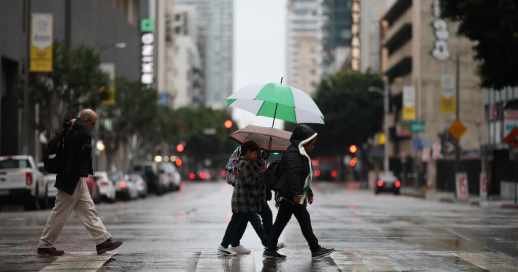
Southern California is facing severe weather on Saturday due to a powerful atmospheric river expected to peak in Los Angeles County. Forecasts predict significant rainfall, potentially making downtown LA the wettest November since 1985, with risks of debris flows and tornadoes. The storm began Friday, bringing heavy rains, particularly in western Ventura County, where some areas received over five inches by noon. Evacuation warnings are in place near recent burn sites due to risks from mud and debris flows.
Many residents are concerned, particularly those near areas affected by January’s wildfires. Some individuals, however, are less worried, claiming their properties are secure. The storm prompted closures of two amusement parks, with flooding threats extending through Saturday.
Meteorologists predict rain rates of 0.75 to 1.25 inches per hour, enough to cause landslides, especially in burn scar areas. While predictions are difficult due to the unpredictable nature of the low-pressure system, most forecasts suggest significant rainfall, with downtown LA possibly seeing over 2.5 inches this weekend, which could result in severe flooding and debris flows. The risk of tornadoes, while usually low in California, remains a concern, as weak tornadoes could still cause localized damage.
The atmospheric rivers affecting the region are also impacting the San Francisco Bay Area, leading to fallen trees and road closures. Overall, authorities emphasize staying indoors, avoiding flooded roads, and being prepared for potentially dangerous conditions.
Source link


